

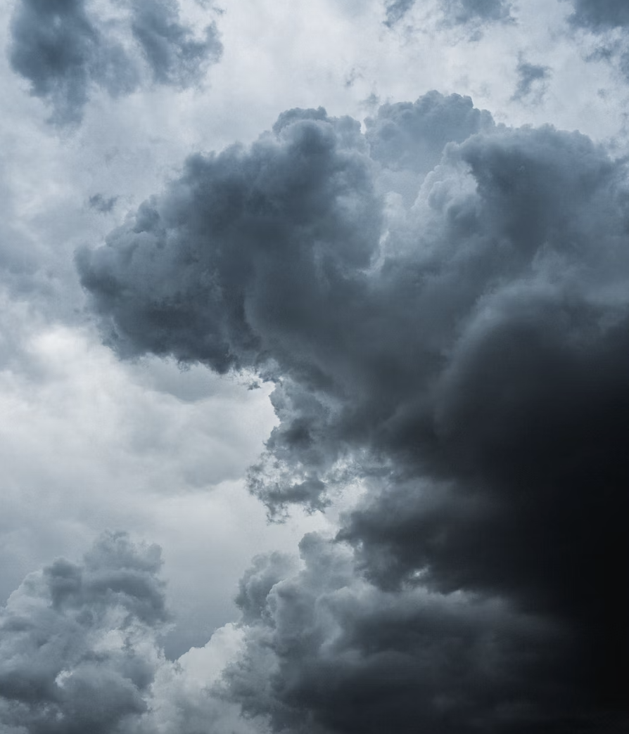
Tornado and Flood Watches in Effect for Rhode Island - Hazardous Weather Outlook Issued
GoLocalProv News Team
Tornado and Flood Watches in Effect for Rhode Island - Hazardous Weather Outlook Issued
See the Hazardous Weather Outlook here.
“Excessive runoff may result in flooding of rivers, creeks, streams, and other low-lying and flood-prone locations. Creeks and streams may rise out of their banks. Flooding may occur in poor drainage and urban areas,” says NWS.
GET THE LATEST BREAKING NEWS HERE -- SIGN UP FOR GOLOCAL FREE DAILY EBLAST“Wet antecedent conditions and low one and three hour flash flood guidance. This combines with storm total rainfall of 2 to 4 inches across the watch area, but localized amounts in excess of 4-6 inches is possible especially where thunderstorms develop and move over the same areas,” they continued.
You should monitor later forecasts and be alert for possible Flood Warnings. Those living in areas prone to flooding should be prepared to take action should flooding develop,” says NWS.